Interactive project map
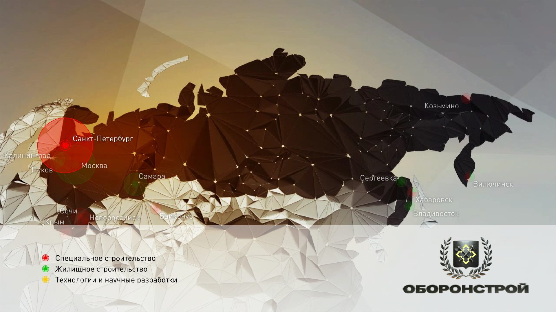
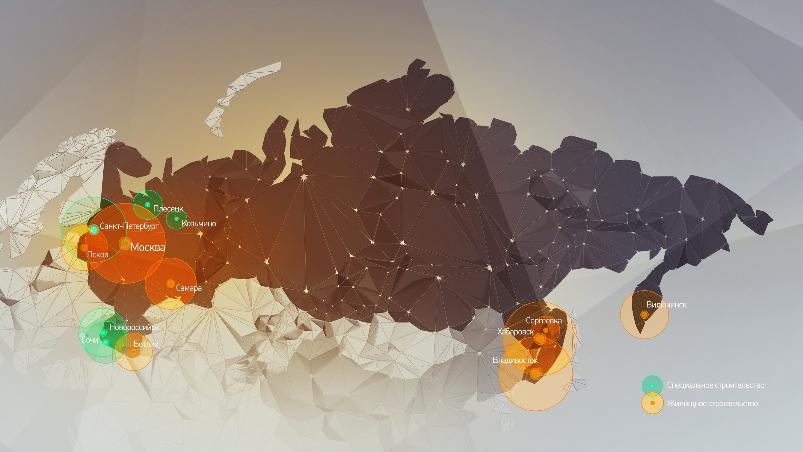
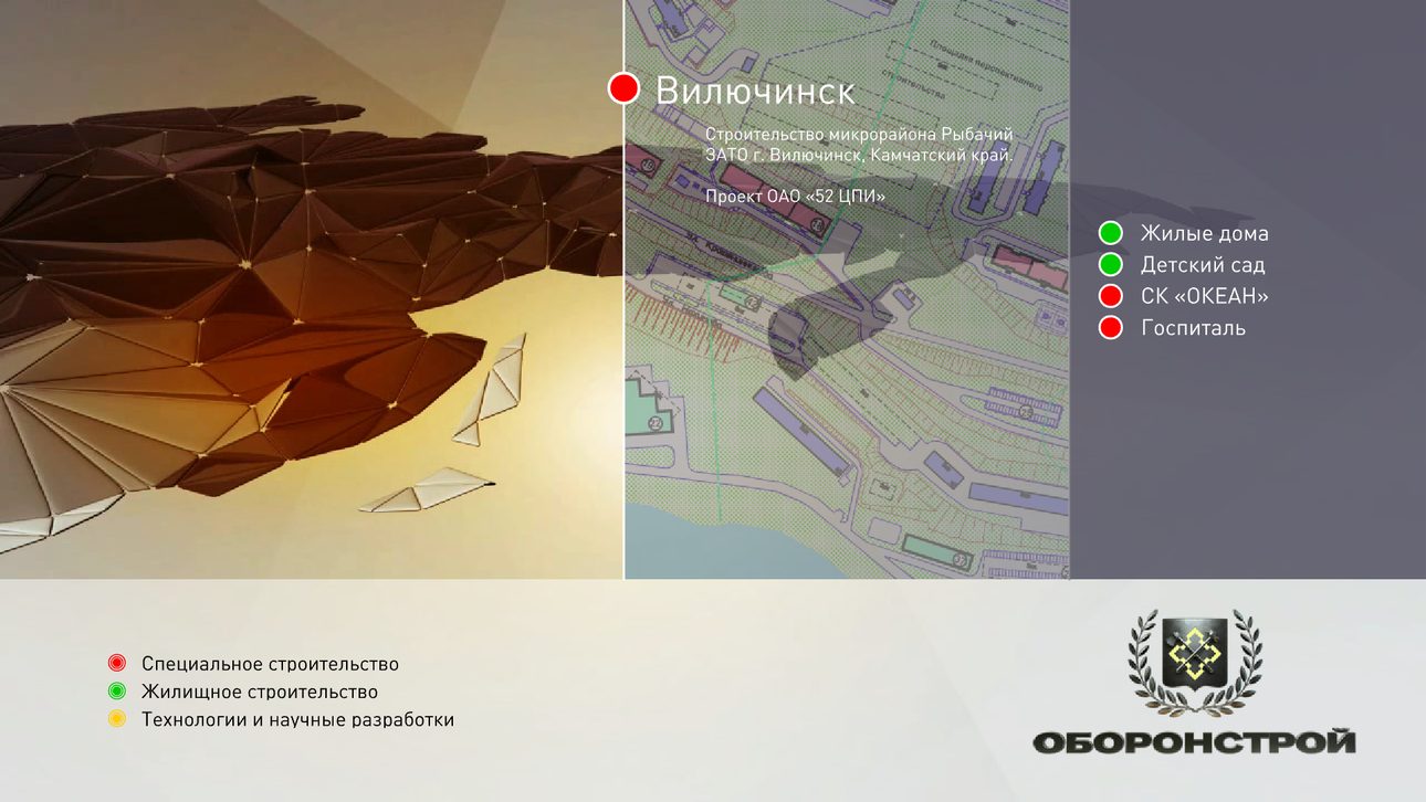
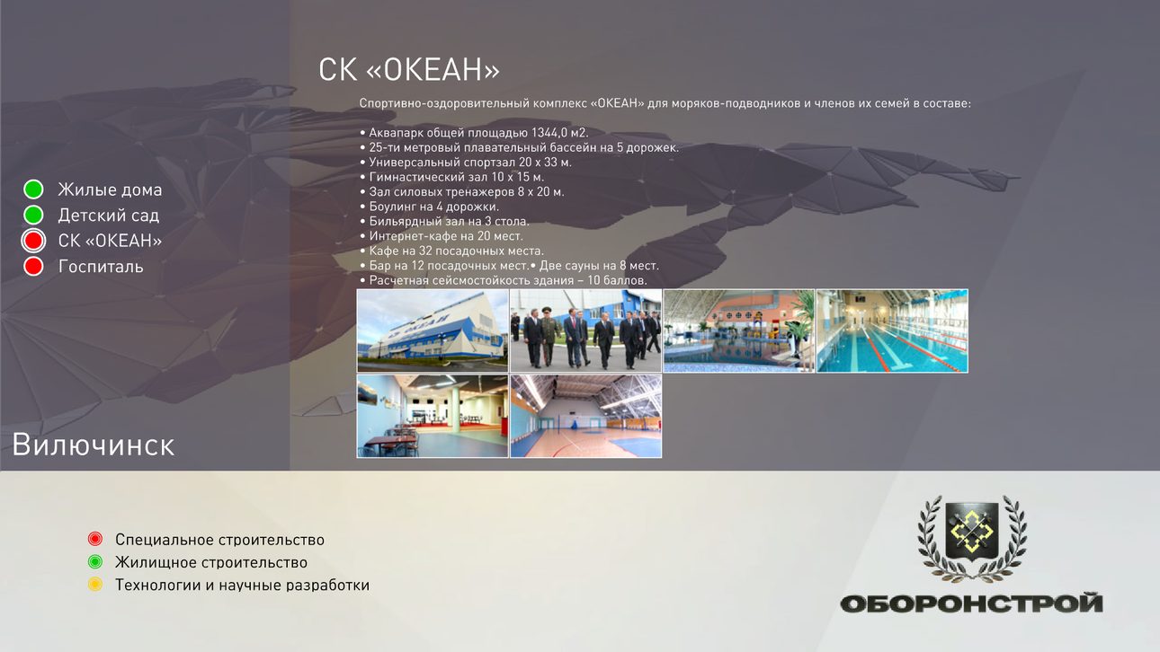
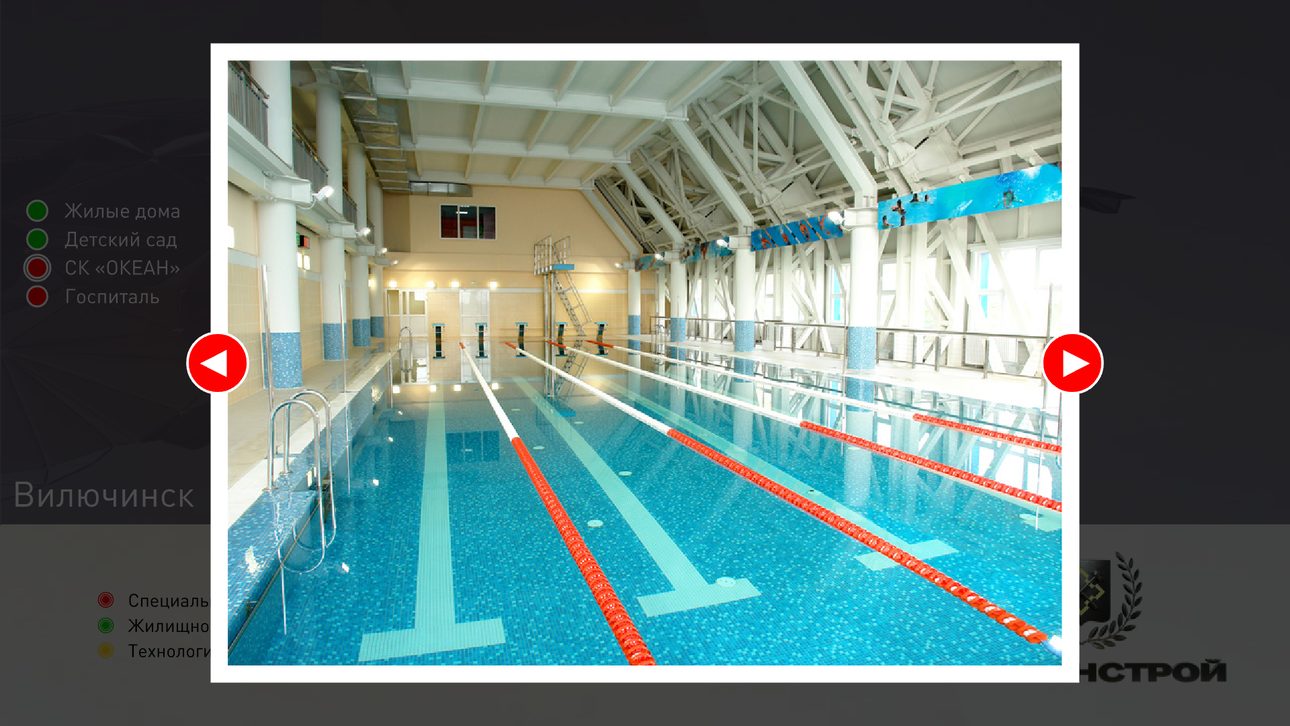
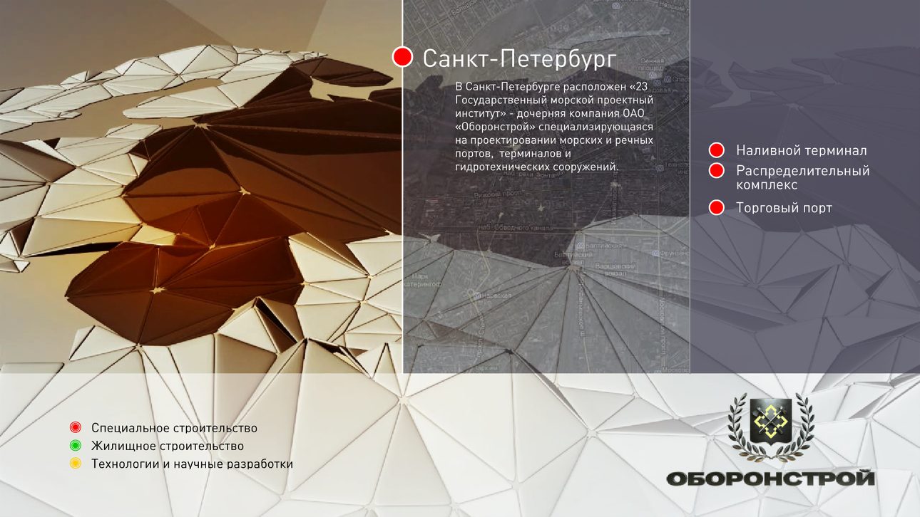
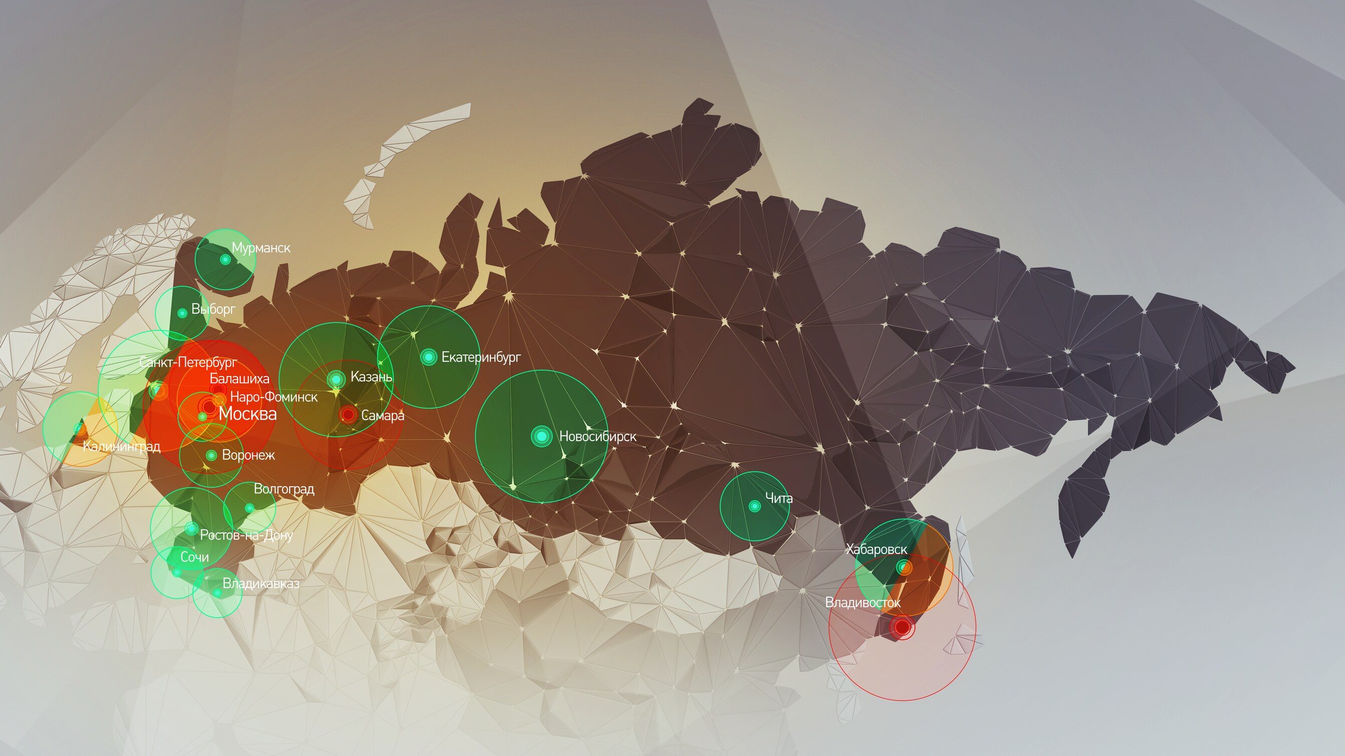
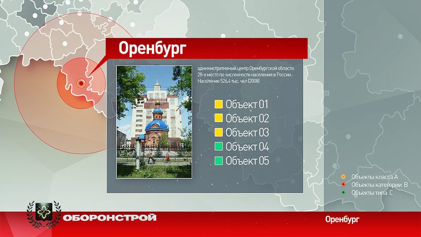
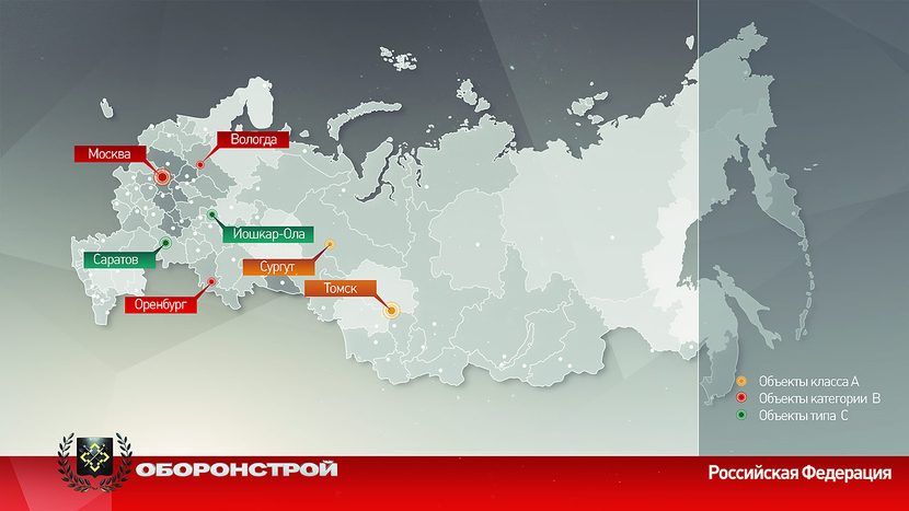
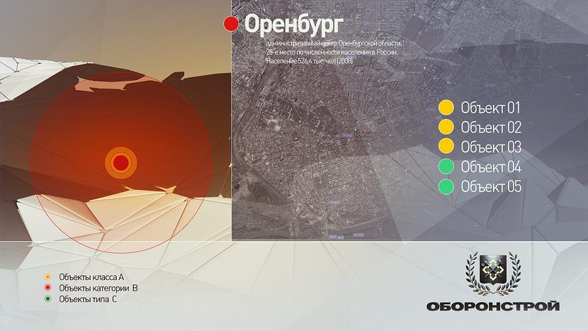
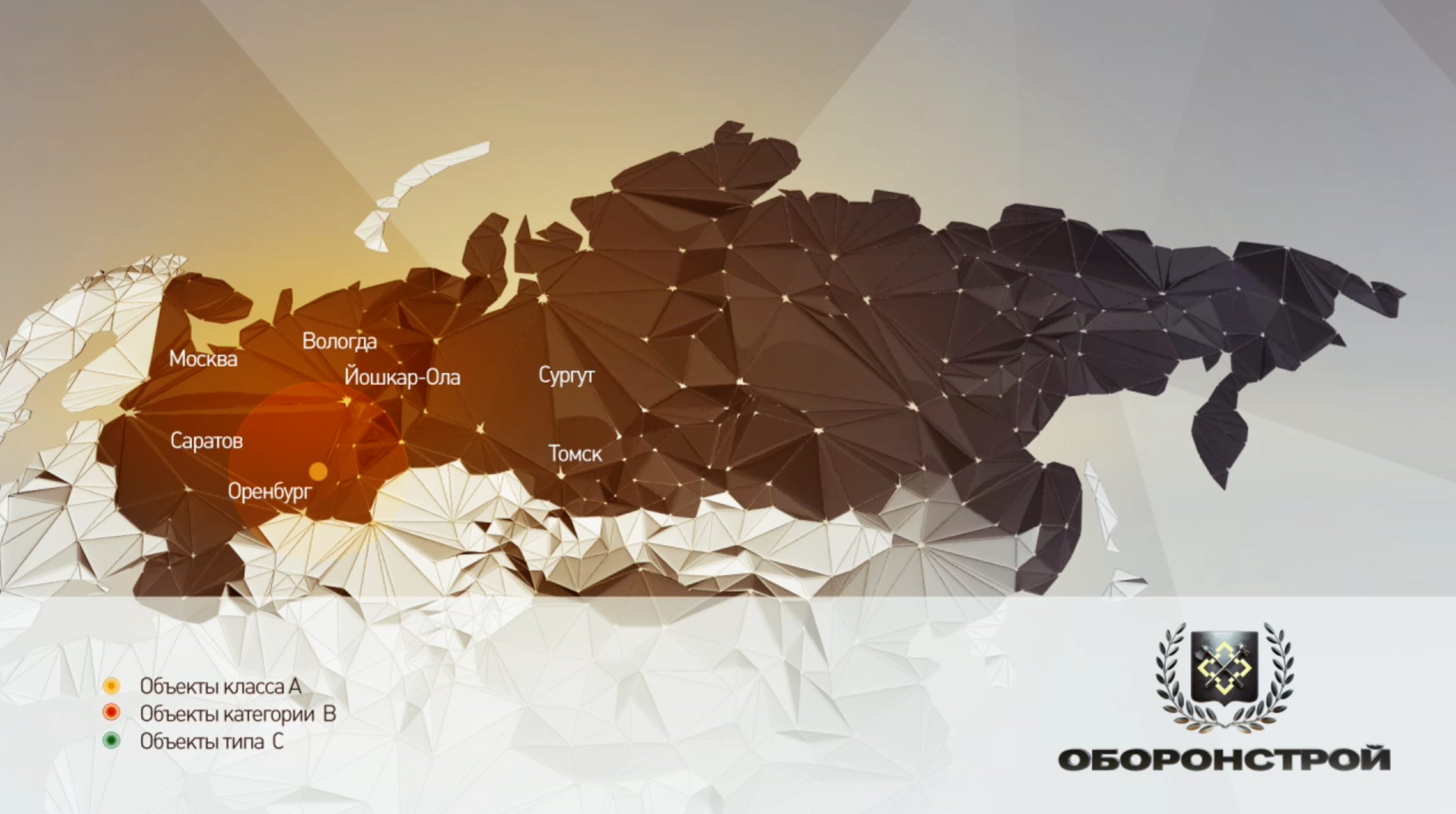
For Oboronstroy, SoloMedia created an interactive map of the company’s projects. Russia is built from faceted 3D polygons, and the cities where the company works light up with colored circles by line of business: special-purpose and housing construction. Click a city and the camera dives in: a satellite view or site plan of the area, a list of sites, and a card with a description and a photo gallery.
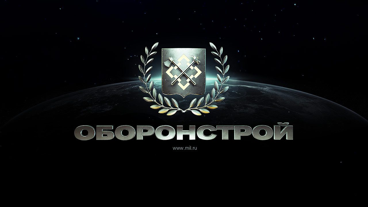
The presentation opens with a 3D emblem that assembles itself from steel plates, grows a laurel wreath and hands over to the map. The map covers 14 locations from Kaliningrad to Kamchatka and Baikonur.